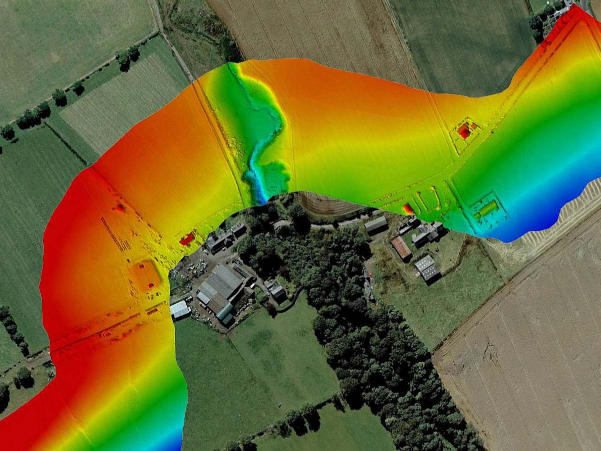
Aspect complete 12km LiDAR route survey
As part of an ongoing framework agreement to provide topographic and associated survey services, Aspect Land & Hydrographic Surveys Ltd were appointed to provide data sets over a 12km route south of Edinburgh. The works were completed utilising a combination of traditional topographic survey and LiDAR aerial mapping techniques, providing a high definition data set [...]